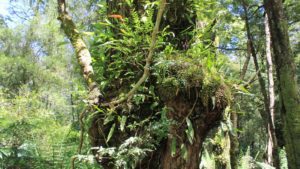
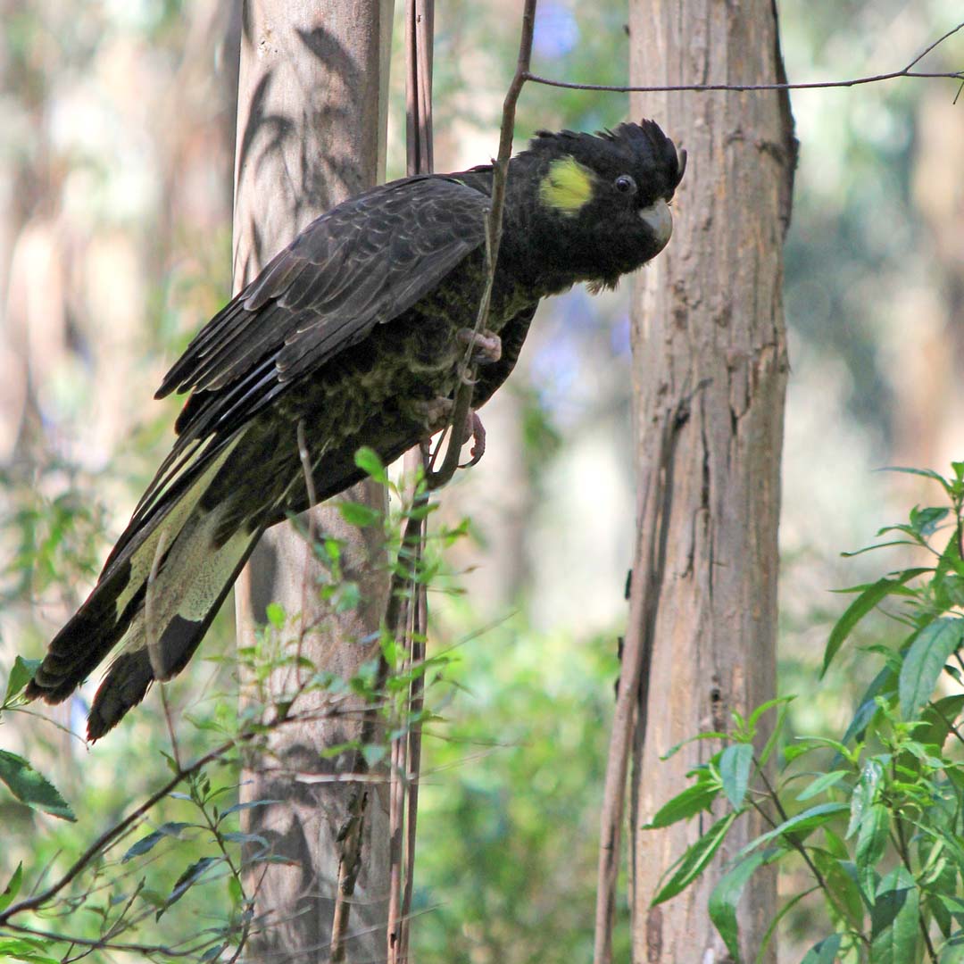
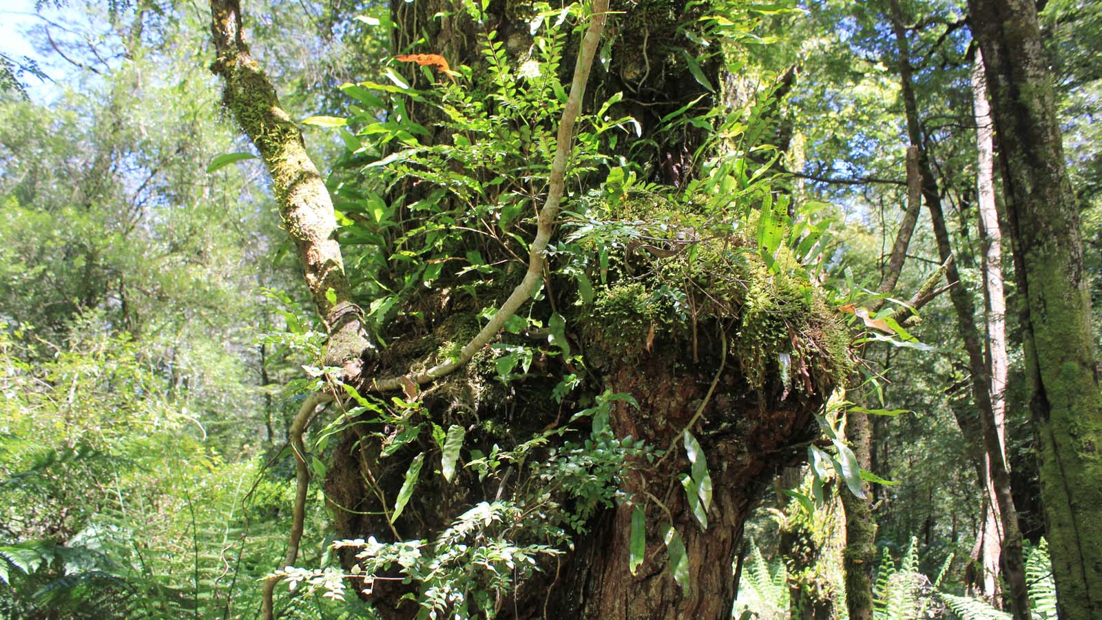
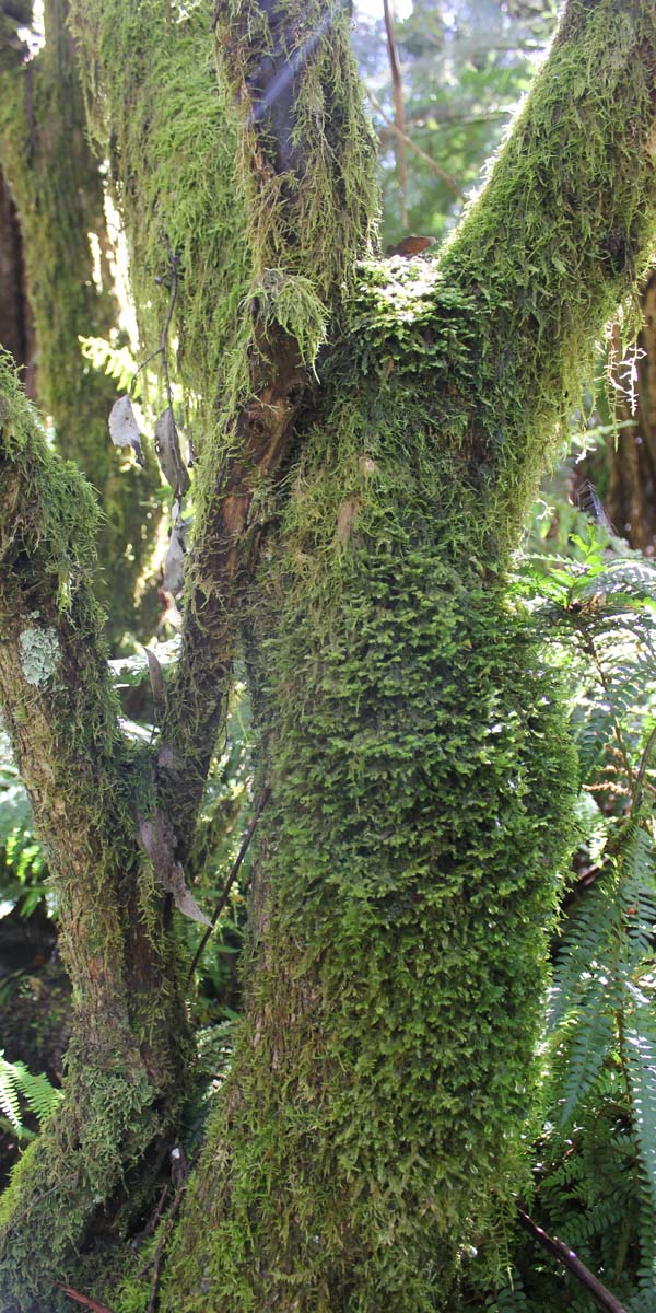
The Wirrawilla Rainforest Walk, Myrtle Gully Circuit, and Tanglefoot Loop are three walking trails in the Toolangi State Forest. These trails vary in difficulty and link up to one another, so they can be mixed and matched to suit your fitness level, mobility requirements, and time constraints. All three trails showcase Toolangi’s stunning forests and allow you to immerse yourself in their lush greenery. You also have a good chance of seeing some of the area’s diverse fauna on any one of the three trails. Toolangi State Forest is also welcoming of dogs (on-lead) if you want to bring yours along for some fresh air and exercise.
Getting there
The Wirrawilla Rainforest carpark and the Tanglefoot picnic area carpark are the two starting points for these bushwalks. Both are accessed via Sylvia Creek Road – a gravel road that intersects with Myers Creek Road, which runs between Healesville and Toolangi. Signage to the carparks is clear, making them easy to find.
Sylvia Creek Road is fine for 2WD vehicles, but there are some areas with lots of potholes that are hard to see until you’re on top of them, so best to take it easy, especially if your car is small or low to the ground.
Both carparks have toilets, but you may want to take your own toilet paper to be on the safe side.
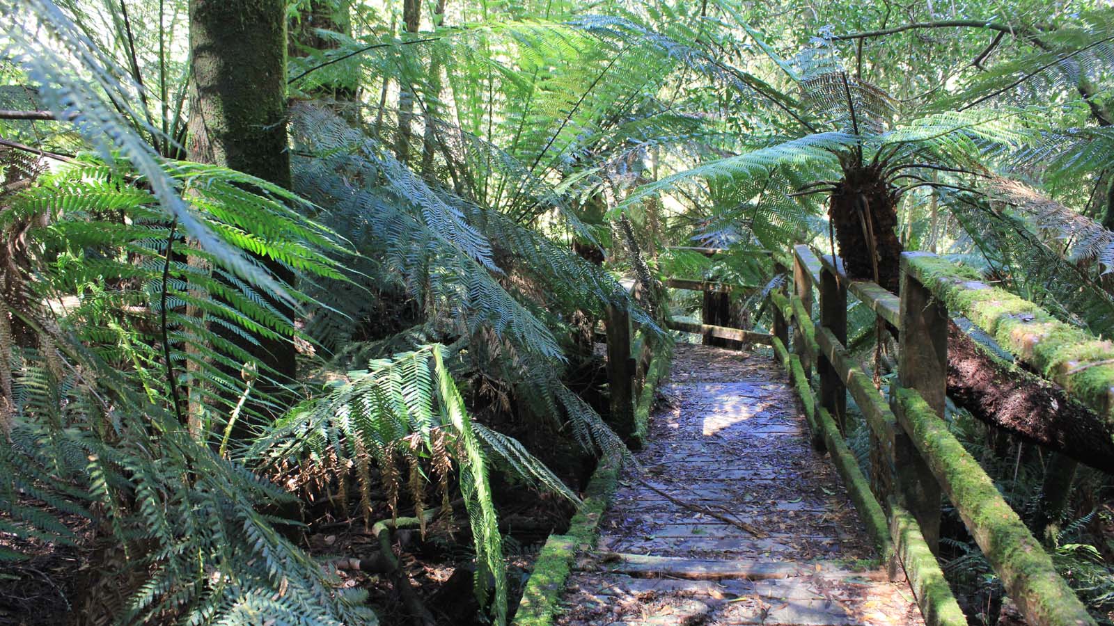
Wirrawilla Rainforest Walk
1km (approx. 20 – 40 mins). If you’re only doing this walk, start at the Wirrawilla Rainforest carpark.
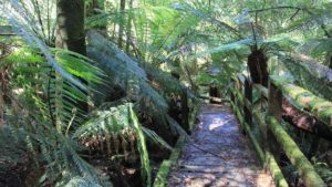
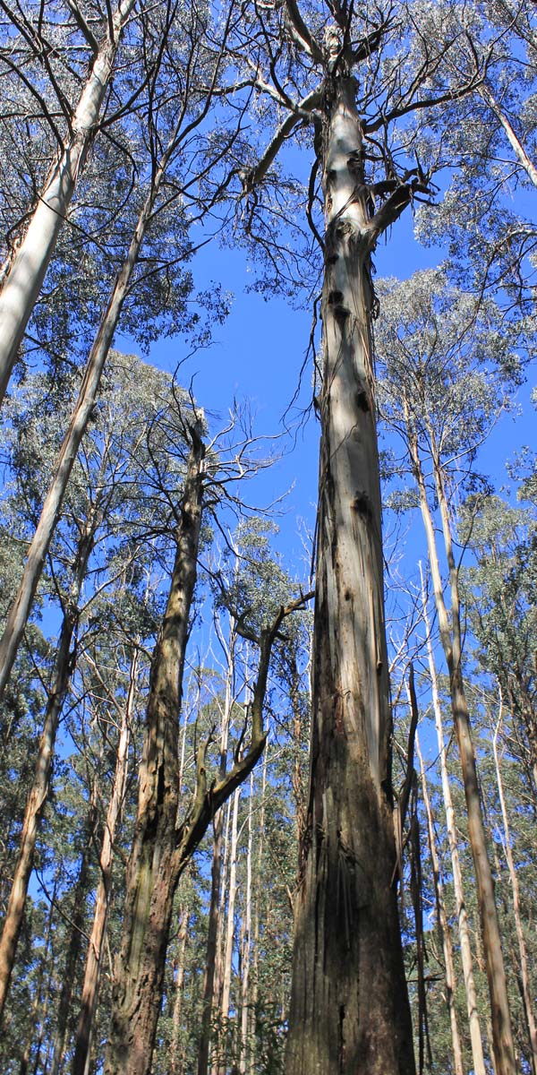
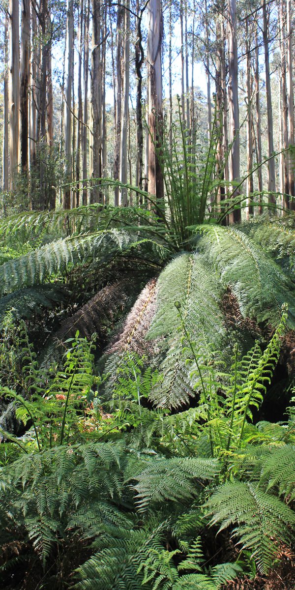
This is the shortest, easiest (Level 2), and most accessible of the three trails. This trail takes you via boardwalk over rivers and through gnarled myrtle beech trees covered in moss, ferns, and fungi. The metal boardwalk is wide and has good grip even when wet, making it suitable for people with young children or mobility restrictions (it is wheelchair accessible).
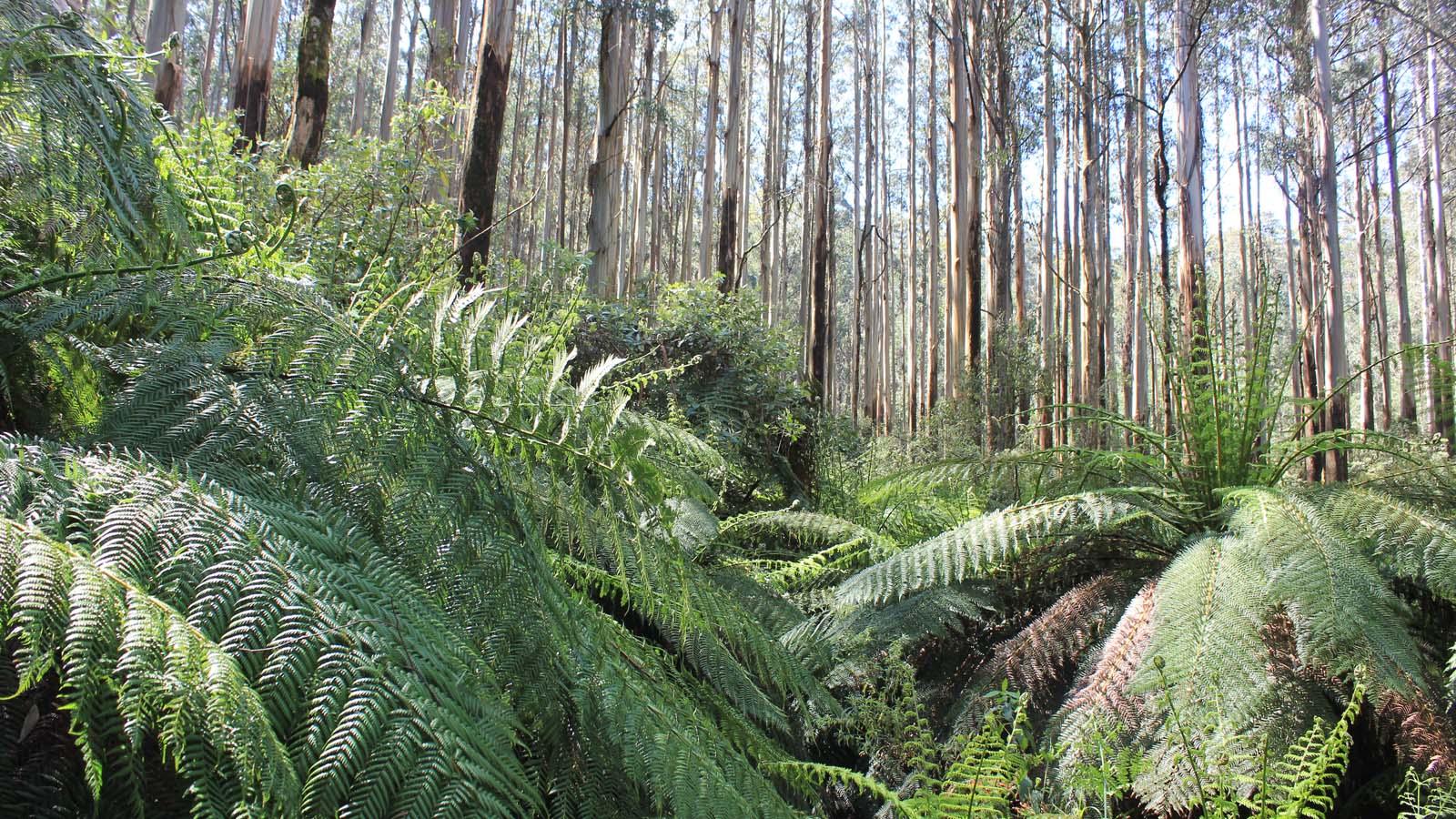
Myrtle Gully Circuit
8km (approx. 2 – 3 hrs) if you’re starting from the Wirrawilla carpark or 10km (approx. 2.5 – 3.5 hrs) if starting from the Tanglefoot picnic area. Note that the sign at the Tanglefoot picnic area seems to be incorrect, indicating the Myrtle Gully Loop is 8km from that starting point.
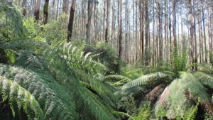
The Myrtle Gully Circuit is a moderately difficult (Level 3) hike on a formed trail that takes you through forests dominated by mountain ash and ferns. The track is well-marked and easy to follow. However, there are a couple of creek crossings where you have to hop across rocks or logs, and after rain some areas of the track become little streams that require you to negotiate along the edges if you don’t want wet feet. It can also be quite muddy in some places and slippery in others when wet. There may be fallen trees to climb over and sections that are a bit overgrown. Signs describe the Myrtle Gully Circuit as ‘steep’, but the ups and downs throughout are relatively gentle and may be better characterised as ‘undulating’.
Tanglefoot Loop
10km (approx. 2.5 – 3.5 hrs) from the Wirrawilla carpark or 12km (approx. 3.5 – 4.5 hrs) from the Tanglefoot picnic area.
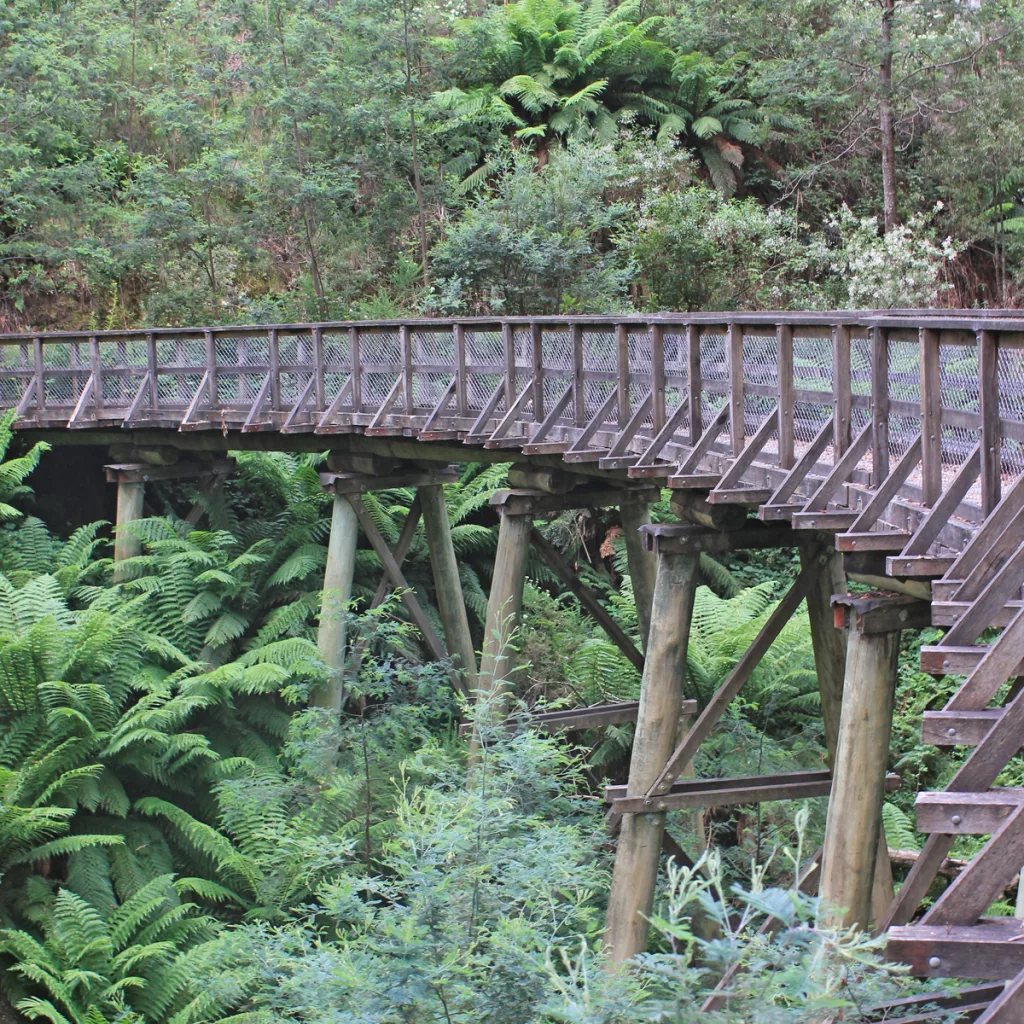
The Tanglefoot Loop is the most difficult of all the trails (Level 4), but only because it’s a bit steeper than the Myrtle Gully Circuit. This trail overlaps with the Myrtle Gully Circuit, then takes you up to Monda Road and back down again. Like the Myrtle Gully Circuit, there are sections of the Tanglefoot Loop that can get very wet and muddy after rain. There are also a couple of creek crossings and a few bridges, with two of the bridges being old, wooden, and slippery when wet. The trail is mostly easy to follow, but there are a couple of forks on one section that aren’t clearly marked and may be confusing. If you do this section coming down from Monda Road, stick to the left at the forks and you’ll be fine (if you’re going up to Monda Road, stick to the right).
When you reach Monda Road, you can head right (west) and take an optional detour up to the Mt St Leonard lookout via Road 10. This will add roughly 3km (1 – 1.5 hours) to the Tanglefoot Loop. Also note that Road 10 is in the Yarra Ranges National Park, so no dogs allowed.
Tips to Explore Toolangi
If it’s been raining recently, waterproof footwear or a change of shoes and socks would be wise. Leeches abound when it’s damp too, so long socks or stockings may be helpful to stop them from latching on. In warmer weather, you may see snakes along the tracks, so tread carefully and keep an eye out.
Gaia GPS is a free GPS app for your phone that doesn’t require phone reception to work. You can do a search for any of the three trails mentioned here and you will get a map showing the trails and how they link up, so you can plan your route and check where you are during the hike.
If you do head out that way, share your photos with us on Facebook – we’d love to see what gems you come across.